Urban Brownfield Redevelopment Analysis in Riverside City
Summary
GIS was leveraged to evaluate brownfield sites across Riverside City, helping local officials prioritize redevelopment projects and comply with environmental regulations.
Full Write-Up
Background
Riverside City’s industrial history left numerous underutilized parcels with potential soil and groundwater contamination. Redevelopment of these brownfield sites is essential for urban revitalization and public health.
Objectives
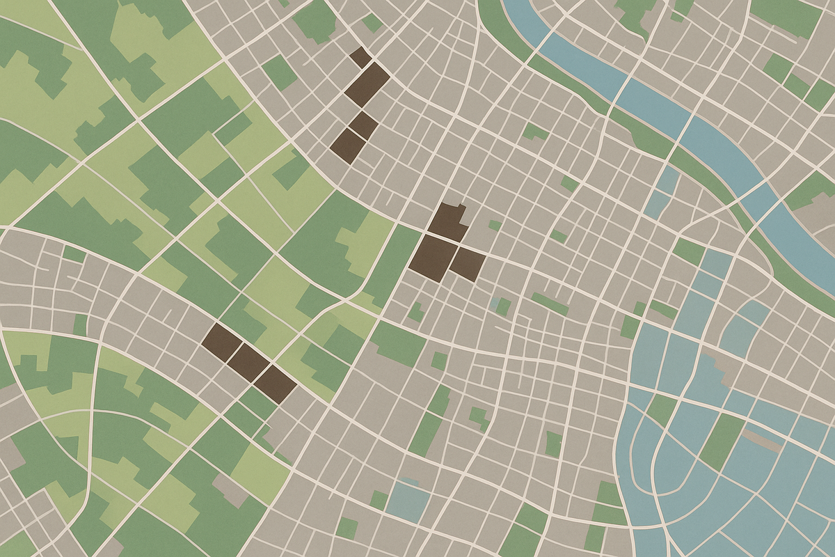
- Inventory and map all known brownfield locations.
- Rank sites by redevelopment potential and environmental risk.
- Provide accessible GIS dashboards for city planners and developers.
- Identify nearby community assets impacted by contamination.
Methodology
- Data Integration:
- EPA brownfield site registry.
- Soil contamination sampling data.
- Property parcel boundaries and zoning layers.
- Socioeconomic datasets for surrounding neighborhoods.
- GIS Analysis:
- Weighted scoring model combining environmental risk, cost of remediation, and community benefit.
- Buffer analysis to show proximity to schools, parks, and residential areas.
- Suitability map highlighting high-priority redevelopment zones.
- Visualization:
- Color-coded parcels by priority score.
- Interactive web map for stakeholders.
Results
- Identified 12 high-priority brownfield sites suitable for immediate redevelopment.
- Estimated potential for $50 million in new economic activity through cleanup and reuse.
- Supported grant applications for state and federal remediation funding.
Impact
The city now has a clear roadmap for sustainable urban renewal, backed by data-driven analysis and transparent public communication.